Topographical Surveying Training – 2 Day Course in Cardiff
Overview
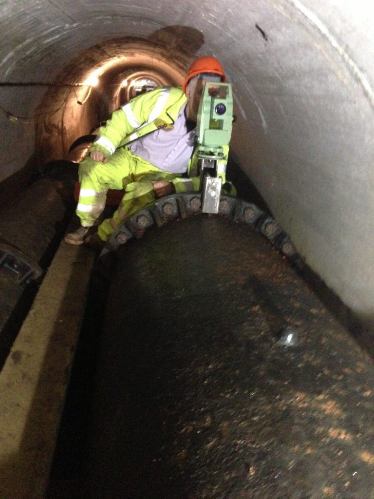
Our Topographical Surveying Training in Cardiff is a comprehensive three‑day programme designed to give construction professionals, engineers, and early‑career surveyors the practical skills they need to carry out accurate land surveys. Combining classroom learning with hands‑on fieldwork, the course covers everything from levelling operations and survey control methods to the use of modern electronic instruments and GPS technology. You’ll learn how to collect, process, and transfer survey data into CAD‑compatible formats, ensuring you can produce reliable outputs for real‑world projects.
Delivered by experienced tutors with industry expertise, this course is ideal for those looking to build a strong foundation in surveying or refresh their existing knowledge with up‑to‑date techniques. By the end of the programme, you’ll have the confidence to apply surveying principles on site, use tools effectively, and contribute to construction and engineering projects with precision.
Why Choose CCW’s Surveying Training?
- Accredited training provider in Cardiff: Trusted across Wales for professional development.
- Practical, hands‑on learning: Work directly with surveying instruments and software.
- Industry‑relevant skills: Learn techniques used daily by surveyors and engineers.
- Expert tutors: Delivered by experienced professionals in construction and surveying.
- Career progression: Build a foundation for advanced surveying and CAD courses.
What You’ll Learn
- Introduction to land surveying: Principles and terminology.
- Levelling operations: Height of collimation, rise and fall methods, and use of Ordnance Survey benchmarks.
- Electronic surveying instruments: Practical use of modern tools.
- Topographical survey techniques: Collecting and processing field data.
- Survey control methods: Three‑point resection, GPS, and digital mapping.
- Digital data transfer: Using Leica Geo Office and Topcon tools.
- Survey data processing: Converting field data into usable outputs.
- AutoCAD applications: Producing 2D and 3D models for design purposes.
Course Details
- Duration: 2 days (with additional homework).
- Location: CCW Training Academy, Cardiff city centre.
- Audience: Construction industry professionals, early‑career surveyors, and engineers.
- Format: Tutor presentations, workshops, and case studies.
- Extras: Course notes, refreshments, and lunch provided.
Benefits of Attending
- Update existing surveying skills with modern techniques.
- Gain practical experience on‑site with surveyors and engineers.
- Produce CAD‑compatible outputs for professional projects.
- Enhance career prospects in construction and engineering.
How to Book
Secure your place today:
- Phone: 029 21 156 603
- Email: info@careerchangewales.co.uk
Keep up with us through our Social Media:
You can find our other courses HERE